Dedicated to my good friend, author and historian, Bill Winsor. 1946 – 2024
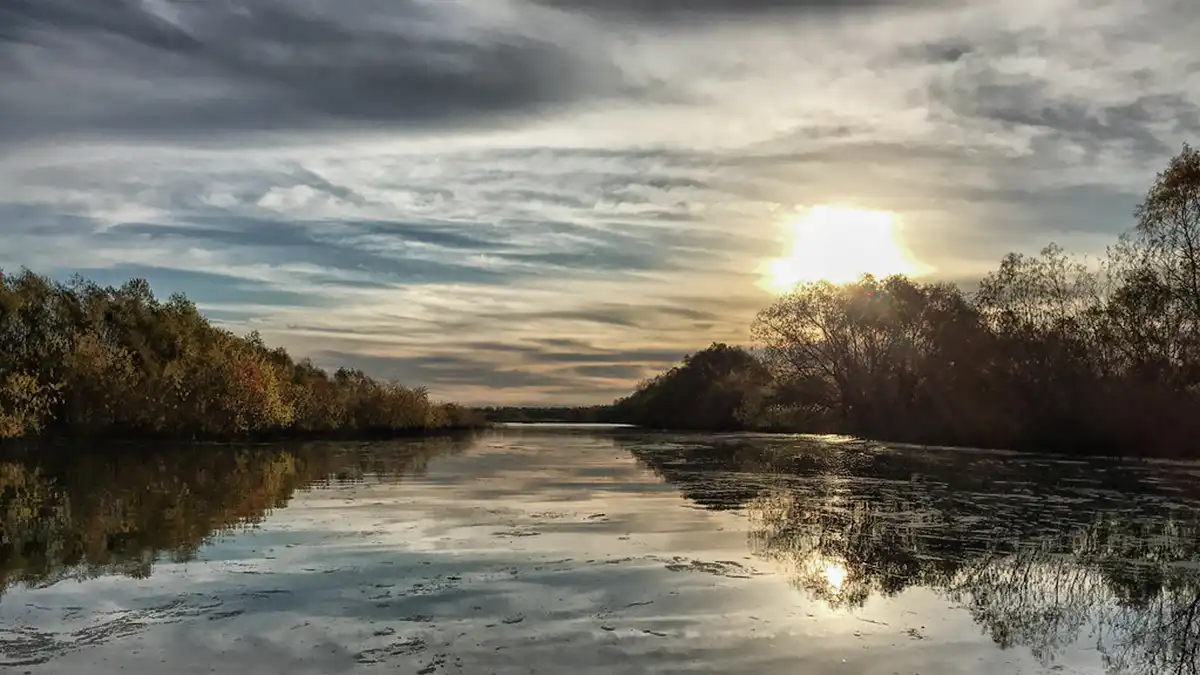
The Guadalupe River rises in the limestone hills west of Kerrville and winds across what some call the cradle of Texas Independence in a 250 mile journey to the Gulf of Mexico. White limestone bluffs, generally shallow flow, and gravel bottoms characterize the river at its beginning. It changes when crossing the Balcones Fault Zone between San Antonio and Austin. Making a transition to the coastal plains, the river becomes quieter, darker, and most times wider, with sand bottom and muddy banks of varying heights … and the river was navigable.
A scant ten miles (as the crow flies) before the Guadalupe River reaches the end of its journey, the waters merge with the San Antonio River, flowing into a delta and splitting into two tributaries just before entry into Mission Lake and the San Antonio Bay estuary.
It is at the Confluence of these two rivers that the Mesquite Landing story begins.

Let’s start with the Early History.
